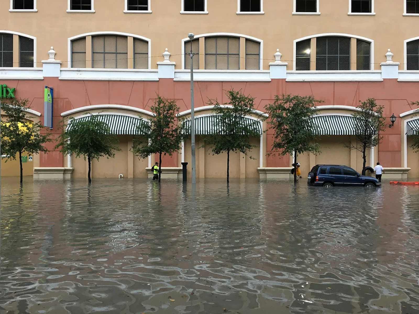
Heavy rain could flood Coral Gables streets until 3 p.m. Monday, with isolated totals near 7 inches. High tides near the bay could make it worse.
Bands of heavy rain could flood streets in Coral Gables through Monday afternoon. The National Weather Service in Miami has a flood watch in effect for all of Miami-Dade, Broward and Palm Beach counties until 3 p.m. Monday.
The weather service said scattered places along the east coast “may pick up 3 to 5 inches of rain through Monday.” Isolated spots could see 5 to 7 inches, and “these amounts may fall over a window of a few hours,” according to the flood watch.
A watch means flooding is possible. It becomes a flood warning or flash flood warning if flooding is happening or about to.
What the forecast says
The weather service issued the watch early Sunday, to run from 10 a.m. Sunday. In its forecast discussion Sunday afternoon, forecasters said:
- parts of the east coast metro areas had already had 1 to 3 inches of rain
- another 1 to 3 inches is possible Sunday night into Monday across most of the region
- 3 to 5 inches is possible where the stronger storms set up, most likely in the east coast metro areas and around Lake Okeechobee
- storms could bring gusty winds, but the bigger concern is repeated rounds of heavy downpours
The cause is a disturbance parked over South Florida and the remains of a stalled front, with strong, gusty east winds off the ocean. The weather service gives Miami an 80% chance of rain Sunday night and Monday. Monday’s high should only reach the upper 70s to lower 80s.
The rain should ease by midweek. The weather service expects the persistent showers to end as winds turn more southerly, though “it’ll still be humid, just not as wet.” Its preliminary forecast for Miami gives a 60% chance of rain Tuesday, Election Day.
Rain on top of high tide
The rain falls in the middle of the fall king tides. The watch warns that “expected impacts could be greater than forecast if the heaviest rainfall occurs near the coast during times of high tide.”
A separate coastal flood advisory for coastal Miami-Dade, for moderate tidal flooding, runs to 7 p.m. Monday. A high rip current risk on the Atlantic beaches runs through Tuesday evening.
The predicted high tides at the Virginia Key gauge, about seven miles northeast of Coral Gables, from NOAA’s tide predictions:
| Day | High tide |
|---|---|
| Monday, Nov. 2 | 2:26 a.m. and 3:04 p.m. |
| Tuesday, Nov. 3 | 3:33 a.m. and 4:05 p.m. |
Sunday’s tides were lower than last week’s. The gauge’s preliminary readings peaked at 1.64 feet above the average daily high around 1 a.m. and 1.56 feet at 2:18 p.m. The weather service counts 1.7 feet there as moderate flooding.
Forecasters said water levels may “briefly (and barely)” drop below the moderate line Monday. They expect levels to climb again by midweek, ahead of the new moon on Nov. 9. Our king tides story has every reading since Oct. 19.
What it means for you
The weather service advises:
- Do not drive around barricades or through water of unknown depth.
- Allow extra time Monday morning and afternoon if you drive near the bay, especially around the 3:04 p.m. high tide.
- Protect flood-prone property. If your street floods in heavy rain, move cars to higher ground before the next downpour.
- Watch for a flood warning or flash flood warning. Either means flooding is under way or about to start where you are.
- At the Atlantic beaches, swim near a lifeguard while the rip current risk lasts.
The weather service’s flood safety page has more.
If the storms knock out power, our power outages page lists who to call. For a non-emergency question, call the city at 305-446-6800. In an emergency, call 911.
If you vote Tuesday, polls are open 7 a.m. to 7 p.m. Our voting guide has how to find your polling place.
Have your say