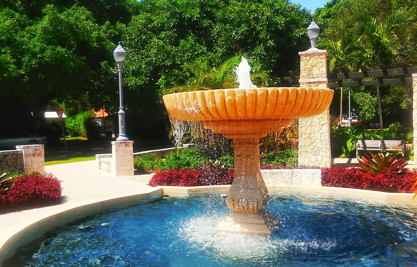
Sunrise Harbour, about 128 acres around Edgewater Drive in southeast Coral Gables, is in ZIP 33133 and zoned for Coconut Grove Elementary.
Last checked Oct. 8, 2026. Sources: the City of Coral Gables’ homeowner association layer and parks layer, Miami-Dade County’s address points and school attendance boundaries, the Florida Department of Education’s 2026 school grades, Zillow Research, Miami-Dade County’s bus route layer and OpenStreetMap.
Sunrise Harbour is a residential area in the southeast of Coral Gables, east of Cartagena Plaza. The city’s homeowner association map draws the Sunrise Harbour association’s area here, and OpenStreetMap names the place Sunrise Harbor. It is the only area in this guide in ZIP code 33133 and the only one zoned for Coconut Grove Elementary.
What this means for you
- Zoned high school: Coral Gables Senior High for every address, a B school in Florida’s 2026 grades. Check yours with the district’s SchoolFinder.
- Home value: $1,365,684 in ZIP 33133 in August 2026, according to the Zillow Home Value Index.
- Nearest Metrorail station: Douglas Road, about 2 miles by road.
Part of our Coral Gables neighborhoods guide.
Where it is
The association outline on the city’s map covers about 128 acres around Edgewater Drive and Douglas Road (Southwest 37th Avenue), with Ingraham Highway along its edge. Cocoplum is to the south, and Cartagena Plaza and Ingraham Park are just to the west.
Miami-Dade County’s address data has about 250 address points here, all in ZIP code 33133.
Schools
Every address point falls in the same three attendance zones in Miami-Dade County’s boundary maps. Grades are Florida’s 2026 school grades, with the share of possible points earned, from the Florida Department of Education.
| Level | School | 2026 grade |
|---|---|---|
| Elementary | Coconut Grove Elementary, 3351 Matilda St., Miami (report card) | A (78%) |
| Middle | Ponce de Leon Middle, 5801 Augusto St. (report card) | B (61%) |
| High | Coral Gables Senior High, 450 Bird Road (report card) | B (62%) |
Coconut Grove Elementary is in Miami, outside the city. Check any address with the district’s SchoolFinder. More in our schools guide.
Home values
The typical home value in ZIP 33133 was $1,365,684 in August 2026, up 10.1% from $1,239,953 in August 2025, according to the Zillow Home Value Index. The index is a modeled typical value for the middle third of homes, single-family homes and condos together, not a sale price. ZIP 33133 covers a much larger area than this neighborhood, so it is a broad measure. The citywide Coral Gables figure was $1,558,867, up 6.9% on the year. More in our home prices guide.
Parks and open space
From the city’s parks layer, with the acreage the city lists:
- Sunrise Harbor Park, 25 Sunrise Ave., inside the area, about 1 acre.
- Ingraham Park, 4715 Ingraham Park, about a tenth of a mile west, about 3 acres.
- Cartagena Plaza, 6999 Old Cutler Road, about a tenth of a mile west.
- Loretta Sheehy Park, 401 Sunset Road, about a seventh of a mile west.
More in our parks and trails guide.
Getting around
- Metrorail: Douglas Road station, about 2 miles by road from the middle of the area.
- City Hall: about 3.5 miles.
- Miami International Airport: about 7.8 miles.
- These are distances measured on the OpenStreetMap road network with the OSRM routing engine, not drive times.
- Bus: Metrobus Route 37 passes the area, according to Miami-Dade County’s bus route layer.
More in our getting around guide.
Homeowner associations
The city’s homeowner association map layer draws the Sunrise Harbour association’s area over all of the address points on this page; that outline is how this page defines the area. The layer does not say whether membership or dues are required; ask the seller for any association documents before you buy.
Groceries and everyday stores
There are no supermarkets or pharmacies inside the area in OpenStreetMap. The nearest, by straight-line distance:
- CVS Pharmacy and Wild Fork Foods, South Dixie Highway, about 1.2 miles away
- Publix, Monza Avenue, about 1.4 miles away
- Trader Joe’s, South Dixie Highway, about 1.4 miles away
- CocoWalk, Grand Avenue in Coconut Grove, about 1.4 miles away
How we drew this area
This page uses the Sunrise Harbour outline on the City of Coral Gables’ homeowner association layer, checked against the Sunrise Harbor place name in OpenStreetMap. Address counts and school zones come from every Miami-Dade County address point inside it, matched to the county’s attendance boundary layers on Oct. 8, 2026. Store and place locations are © OpenStreetMap contributors.
Frequently asked questions
Where is Sunrise Harbour in Coral Gables?
In the southeast of the city, around Edgewater Drive and Douglas Road, with Ingraham Highway along its edge. The city’s homeowner association map draws the Sunrise Harbour association’s area at about 128 acres, and OpenStreetMap places Sunrise Harbor there.
What schools serve Sunrise Harbour?
Every address is zoned for Coconut Grove Elementary, an A school in 2026, Ponce de Leon Middle and Coral Gables Senior High in Miami-Dade County’s attendance boundary maps.
What ZIP code is Sunrise Harbour in?
- Zillow put the typical home value in that ZIP code at $1,365,684 in August 2026, up 10.1% from a year earlier.
Is Sunrise Harbour a good place to live?
Here are the facts. Sunrise Harbour has about 250 county address points and a 1-acre city park, Sunrise Harbor Park, and is zoned for Coconut Grove Elementary, an A school, and Coral Gables Senior High, a B school, in 2026. The nearest supermarkets are on US 1, about a mile away.
Have your say