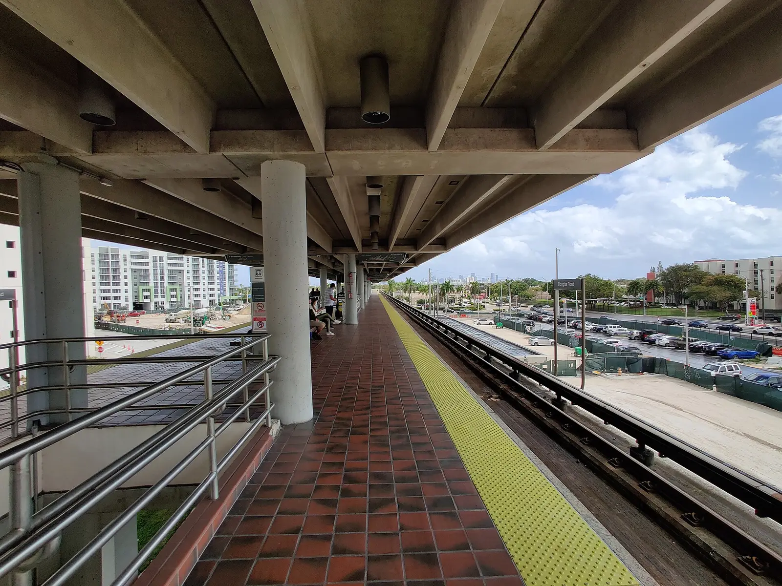
The Coconut Grove Section of Coral Gables, about 102 acres on Ponce de Leon Boulevard north of Bird Road, is 0.8 mile by road from Metrorail.
Last checked Oct. 8, 2026. Sources: the City of Coral Gables’ section and subdivision plat layer, parks layer and homeowner association layer, Miami-Dade County’s address points and school attendance boundaries, the Florida Department of Education’s 2026 school grades, Zillow Research, Miami-Dade County’s bus route layer and OpenStreetMap.
Despite its name, the Coconut Grove Section is in Coral Gables. It is one of the plats the city was laid out in, recorded on the city’s map as “Coconut Grove Sec 1-Coral Gables,” and it sits between downtown and Bird Road, with Ponce de Leon Boulevard running through it, less than a mile by road from Douglas Road Metrorail station.
What this means for you
- Zoned high school: Coral Gables Senior High for every address, a B school in Florida’s 2026 grades. Check yours with the district’s SchoolFinder.
- Home value: $883,278 in ZIP 33134 in August 2026, according to the Zillow Home Value Index.
- Nearest Metrorail station: Douglas Road, about 0.8 mile by road.
Part of our Coral Gables neighborhoods guide.
Where it is
The plat covers about 102 acres between San Sebastian Avenue on the north and Bird Road (Southwest 40th Street) on the south, from LeJeune Road (Southwest 42nd Avenue) east to about Southwest 38th Avenue. Ponce de Leon Boulevard crosses it north to south. Downtown is a few blocks north, and the Shops at Merrick Park are just to the south.
Miami-Dade County’s address data has about 460 address points here: 93% in ZIP code 33134 and 7% in 33146.
Schools
Every address point falls in the same zones in Miami-Dade County’s attendance boundary maps. Grades are Florida’s 2026 school grades, with the share of possible points earned, from the Florida Department of Education.
| Level | School | 2026 grade |
|---|---|---|
| Elementary (pre-K to 8) | Frances S. Tucker K-8 Center, 3500 Douglas Road, Miami (report card) | C (59%) |
| Middle | Ponce de Leon Middle, 5801 Augusto St. (report card) | B (61%) |
| High | Coral Gables Senior High, 450 Bird Road (report card) | B (62%) |
Tucker is a K-8 center, so its students can stay through eighth grade; the county’s middle school map also places the area in the Ponce de Leon Middle zone. Ask the district which applies, or check the address in its SchoolFinder. More in our schools guide.
Home values
The typical home value in ZIP 33134 was $883,278 in August 2026, up 2.7% from $860,055 in August 2025, according to the Zillow Home Value Index. The index is a modeled typical value for the middle third of homes, single-family homes and condos together, not a sale price, and it covers the whole ZIP code, not just this section. The citywide Coral Gables figure was $1,558,867, up 6.9% on the year. More in our home prices guide.
Parks and open space
From the city’s parks layer:
- San Sebastian Park, 130 San Sebastian Ave., at the area’s north edge.
- War Memorial Youth Center, 405 University Drive, about a sixth of a mile away, with about 11 acres, which the city lists as a community facility.
More in our parks and trails guide.
Getting around
- Metrorail: Douglas Road station, about 0.8 mile by road from the middle of the area.
- City Hall: about 0.9 mile.
- Miami International Airport: about 5.2 miles.
- These are distances measured on the OpenStreetMap road network with the OSRM routing engine, not drive times.
- Bus and trolley: Metrobus Route 40 runs on Bird Road, and Routes 42 and 57 pass through, according to Miami-Dade County’s bus route layer. The free Coral Gables Trolley runs along Ponce de Leon Boulevard to Douglas Road station; see the city’s trolley page.
More in our getting around guide.
Homeowner associations
The city’s homeowner association map layer draws the Southeast Gables association’s area over about 79% of the section’s address points. It does not say whether membership or dues are required; ask the seller for any association documents before you buy.
Groceries and everyday stores
From OpenStreetMap:
- Shops at Merrick Park, San Lorenzo Avenue, about a quarter of a mile south
- Milam’s Market, Southwest 37th Avenue, about a quarter of a mile away
- Aldi and Trader Joe’s, South Dixie Highway, about a third of a mile away
- Publix, South LeJeune Road, about two-fifths of a mile away
- Walgreens, about a third of a mile away
How we drew this area
This page uses the “Coconut Grove Sec 1-Coral Gables” plat on the City of Coral Gables’ section and subdivision layer. Address counts and school zones come from every Miami-Dade County address point inside it, matched to the county’s attendance boundary layers on Oct. 8, 2026. Store locations are © OpenStreetMap contributors.
Frequently asked questions
Is the Coconut Grove Section in Coral Gables or Coconut Grove?
It is in the city of Coral Gables. The name comes from the plat the city’s map records as “Coconut Grove Sec 1-Coral Gables,” about 102 acres between San Sebastian Avenue and Bird Road. Coconut Grove, the Miami neighborhood, is farther east.
What schools serve the Coconut Grove Section of Coral Gables?
Every address is zoned for Frances S. Tucker K-8 Center, which earned a C in Florida’s 2026 school grades, and for Coral Gables Senior High, a B school. The county’s middle school map also places the area in the Ponce de Leon Middle zone.
What ZIP code is the Coconut Grove Section in?
Mostly 33134, with 7% of addresses in 33146. Zillow put the typical home value in 33134 at $883,278 in August 2026.
How far is the Coconut Grove Section from Metrorail?
About 0.8 mile by road to Douglas Road station, measured on the OpenStreetMap road network. The free Coral Gables Trolley runs along Ponce de Leon Boulevard to the station.
Have your say